
Toledo Neighbors Sources by Block
Official sources answer different block questions. Start with an address in the Auditor's parcel system and use the map to locate adjoining property polygons. Open each parcel separately to see its own property and owner-record leads. Use the Recorder only if a dated instrument or legal description is needed. A voter lookup is for a named person, not for browsing nearby addresses. The City association resources help with community contact and boundaries, but they are not people lists.
| Source | What It Shows About a Block | Access |
|---|---|---|
| AREIS current parcel records | Individual parcel, property, and owner-record leads | Public portal; select each parcel separately |
| Auditor GIS and mapping | Adjoining parcels, streets, imagery, districts, and maintained layers | Public map; tax-purpose data must be independently verified |
| Recorder Public Access | Named instrument chain after a party or legal description is known | Name and index system, not an address-first list of every document |
| City permit history | Permit or project records associated with a selected address | Account and address workflow; a date range is optional |
| TLCPL maps and Block Cards | Historic block and building context | Historical evidence, not current personal information |
| Ohio voter lookup | Registration check for a named Lucas County voter | No street or neighbor-browse mode in the official form |
These sources distinguish a parcel relationship from a person. A property owner is not automatically a current occupant, and an adjoining parcel is only a map fact. That limitation is especially important when the aim is to understand your Toledo neighbors without making assumptions about who lives at a property.
Toledo Parcels Are Not Households
A parcel map can make a block easier to understand, but it cannot produce a complete household directory. AREIS reports property and tax information for the selected parcel. The Auditor map helps orient its location. A recorded deed may identify a party to a transaction. None of those records confirms every person at a property, personal contact details, or an unlisted address. Keep owner, property, and residency claims separate in every neighbor lookup.
Seeing a name in a parcel record does not identify each resident at that address. For a block question, record only the parcel number, map relationship, and the source's stated property information. Do not turn a tax mailing field or an old transfer into a claim about present Toledo neighbors. That distinction keeps a map-based result within its actual scope.
Mapping a Toledo Neighbors Block
Work outward from one verified address. Lucas County Auditor GIS supplies parcel and street layers, and AREIS supplies the selected parcel record. The process is deliberately parcel by parcel because the County's authoritative information belongs to each individual record. The map is a visual locator, not a legal survey, and its boundary lines are for tax purposes.
- Find the starting address in AREIS or the Auditor mapping tools, then confirm that the selected parcel matches the address.
- Record the parcel number, property and tax clues, owner-record lead, and short legal description shown for that parcel.
- Pan or use the parcel layer to identify adjoining polygons, then open every adjacent parcel's AREIS record separately rather than carrying facts across a boundary.
- Use the Recorder only when a dated instrument or legal description is needed to test a property-history question.
A question about a full named street needs a different scope. The Toledo streets record chain follows address-keyed records along the street, while a neighbors search should stay with the immediate block around the starting parcel.
Toledo GIS Layers for Neighbors
The Auditor's GIS layer stack supports more than parcel outlines. It includes streets, aerial images, floodplains, school districts, wetlands, census tracts, and other maintained layers. Use those layers to orient a Toledo block or confirm how two parcels relate on the map. Then return to AREIS or the Recorder for the record trail. The Auditor cautions that its map boundaries are tax-purpose data and not a legal survey or conveyance record.
For an address-specific City layer, Toledo permit history permits an account and address search, with an optional date range before selecting View Project Info. It can show that the City recorded a project at the address. It does not establish that every applicant or named party remained at the property.
The Auditor also offers data downloads for parcels, streets, and building footprints, plus formal GIS data and map requests. Those resources support a geographic question about the block, but they do not turn a boundary file into a directory of Toledo neighbors. AREIS property and tax information represents the current tax year and is a useful reference, yet its published notice says it is not guaranteed. Keep a record of the search date when a parcel detail affects a later verification.
Toledo Voter Verification Is Individual
Ohio's official voter form requires first name, last name, and county. It can verify a matching Toledo person's registration and locate precinct or polling information after Lucas County is selected. It is never a valid way to browse a street for neighbors. The State suggests trying a derivative first name, former surname, or previous Ohio county address when a known person's search does not return a result.
For a question about a specific registration or the current access policy, use the Lucas County Board of Elections, 419-213-4001. The research did not identify a current official field and fee inventory for a nearby-address voter-file request. Safe at Home participants and other statutory exclusions also limit public treatment of sensitive voter information.
Toledo Neighborhood Boundaries and Contacts
The City offers a neighborhood-association finder and a registration route. These are contact and boundary tools, not membership directories. The registration form collects organization and boundary information, including its north, west, east, and south limits, council district, and organization-level household and member totals. It does not make those totals or a mailing address into personal member information. The January 2020 association directory is historic unless the City finder confirms a current association.
| City resource | Appropriate block use | What it does not provide |
|---|---|---|
| Neighborhood association finder | Find an association near an address and a current community contact route | A roster of residents or members |
| Association registration | Understand the organization and boundary information the City collects | Personal member names or a household list |
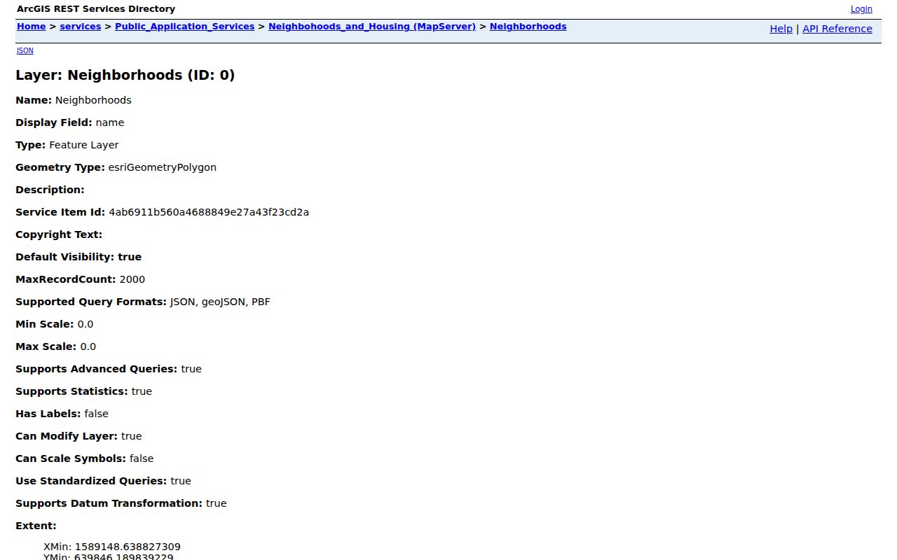
| Neighborhood-polygon service | Overlay the City neighborhood boundary and displayed name field | A people list or proof of residence |
The City neighborhood-association finder is the official source shown here for a local contact route.
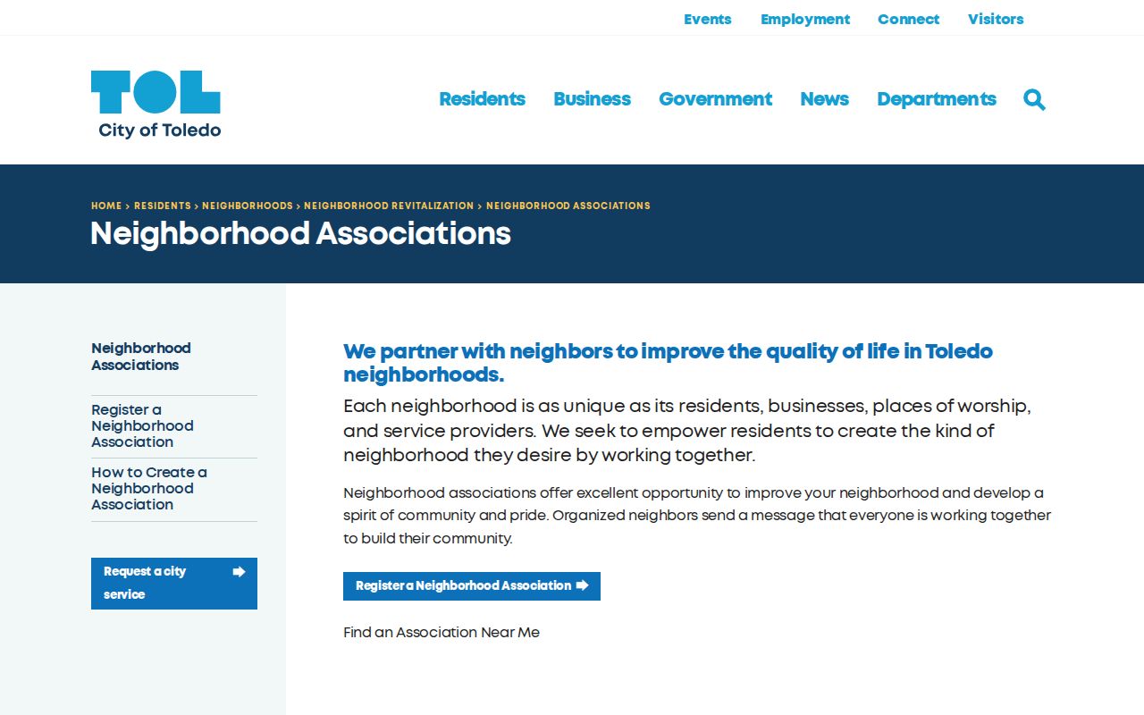
Use a finder result to participate in a community process, not to infer who belongs to an association.
The City registration route shown below documents organization-level contact and boundary fields.
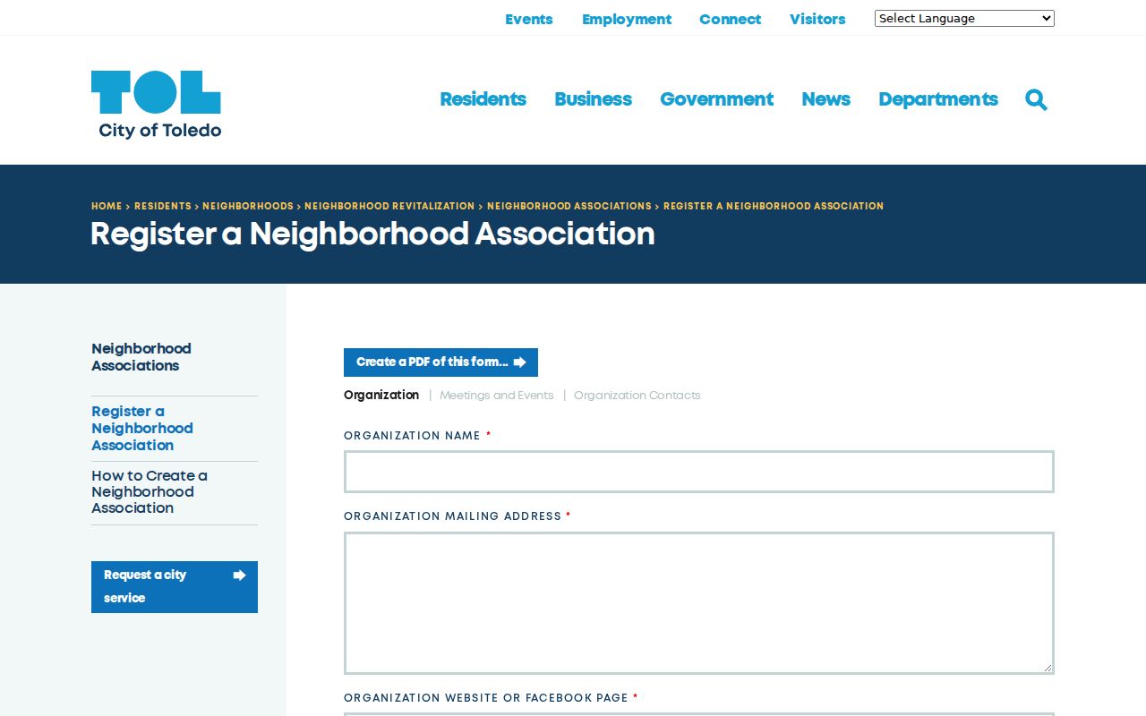
Boundary descriptions and organization totals help define a community area but never identify its individual residents.
The City neighborhood-polygon service shown below provides a geographic overlay rather than a neighbor directory.
Historic names such as Port Lawrence, Vistula, Ironville, East Toledo, Englewood, Junction, Old South End, Old West End, Lagrange, and North River can help place older plat descriptions, but a historic name is not proof of a person's address.
Official Toledo Neighbors Records Compared
For a lawful block question, custodian records and commercial neighbor-lookup categories do not carry the same weight. The official source identifies what record it keeps and the limit of that record. A commercial category may combine data of different dates and sources. It cannot replace Auditor, Recorder, elections, or City verification. This comparison matters most when a name, address, or owner record does not agree.
| Official custodian record | Unnamed commercial category |
|---|---|
| Shows the identified parcel, instrument, registration check, or City layer within the custodian's stated scope. | May compile records with different dates, sources, and update practices. |
| Provides a responsible office for a correction, copy, or access question. | Does not replace the office that created the underlying public record. |
| Requires the reader to respect redactions, confidentiality rules, and source limits. | Should not be used to fill a protected or missing address. |
When records conflict, keep the parcel number, document identifier, date, and source name. Ask the responsible custodian about a correction or copy path instead of treating an unverified compilation as the final answer.
Toledo Neighbor Lookup Boundaries
Ohio Safe at Home protects qualifying participants' residential addresses through a substitute-address program. R.C. 111.42 is a limit on a neighbor lookup, not an invitation to search across systems for a withheld address. Public-record access under R.C. 149.43 remains subject to exemptions and redactions. Utility, delivery, sensitive voter, and personal contact data are not part of a lawful block search.
When a public entry seems incomplete or wrong, ask the custodian about the record, correction route, or available copy. Do not demand a redacted field. The City and County request channels are the proper path for a records question, while a commercial profile cannot remove a government deed, court record, or voter record. Any correction or redaction request belongs with the office that holds the underlying record and only where the law permits it.
Lawful use. Parcel and boundary records can help a person understand a block or use a community contact route. They never authorize stalking, harassment, intimidation, or an effort to uncover a protected address.