
Toledo ZIP Code Coverage
The City GIS ZIP layer verifies fifteen mapped postal polygons with TOLEDO as the post-office name. The coverage below is a local reference, not a promise about a specific delivery address. Several labels describe a general area or nearby civic landmark rather than an exact service boundary. Postal routing, municipal limits, school districts, tax districts, and parcel lines are separate systems. Confirm a real mailing address through USPS before relying on a ZIP for delivery.
| ZIP | Areas Covered | Post Office | Notes |
|---|---|---|---|
| 43604 | Downtown and Government Center area | Toledo | County and City offices use this ZIP; confirm individual delivery with USPS. |
| 43605 | East Toledo river-side area | Toledo | A postal label does not define a municipal boundary. |
| 43606 | Central and Old West End vicinity | Toledo | Use USPS for address-level confirmation. |
| 43607 | West-central area | Toledo | Confirm the actual carrier route with USPS. |
| 43608 | North and Lagrange area | Toledo | The Library’s Lagrange branch uses this ZIP. |
| 43609 | South and older central-south area | Toledo | Verify the exact parcel and delivery address independently. |
| 43610 | North-central area | Toledo | The Library’s Kent branch uses this ZIP. |
| 43611 | Point Place and northern river and bay area | Toledo | Boundary and route verification are required. |
| 43612 | North Toledo area | Toledo | Postal geography may overlap non-city service areas. |
| 43613 | West and northwest area | Toledo | Confirm with USPS. |
| 43614 | South and Heatherdowns vicinity | Toledo | City branches and services use this ZIP. |
| 43615 | West and southwest area | Toledo | Verify an individual address. |
| 43617 | Mapped City/County postal polygon | Toledo | Municipal boundaries remain separate. |
| 43620 | Mapped City/County postal polygon | Toledo | Use USPS for individual delivery confirmation. |
| 43623 | West Toledo and Sylvania Avenue service area | Toledo | Official County material lists a Toledo location in this ZIP. |
The table deliberately does not present 43657, 43659, or 43660 as ordinary Toledo delivery ZIPs. The inspected GIS service showed them without a post-office name. It also mapped 43616 and 43618 with OREGON as the post-office name. The City GIS ZIP layer is the source for the planning polygons and post-office-name set.
Toledo ZIP Map Limits
The City GIS service separates its Zip Codes layer from City Boundary and Council District layers. That design shows why a ZIP should be treated as postal planning geography rather than a city-limit line. An address can require a delivery confirmation even when its parcel appears within a familiar Toledo-area ZIP polygon. For property evidence, return to the Auditor record and the legal description rather than using a colored boundary as proof of jurisdiction.
The official Toledo GIS ZIP layer displays this separate geography.
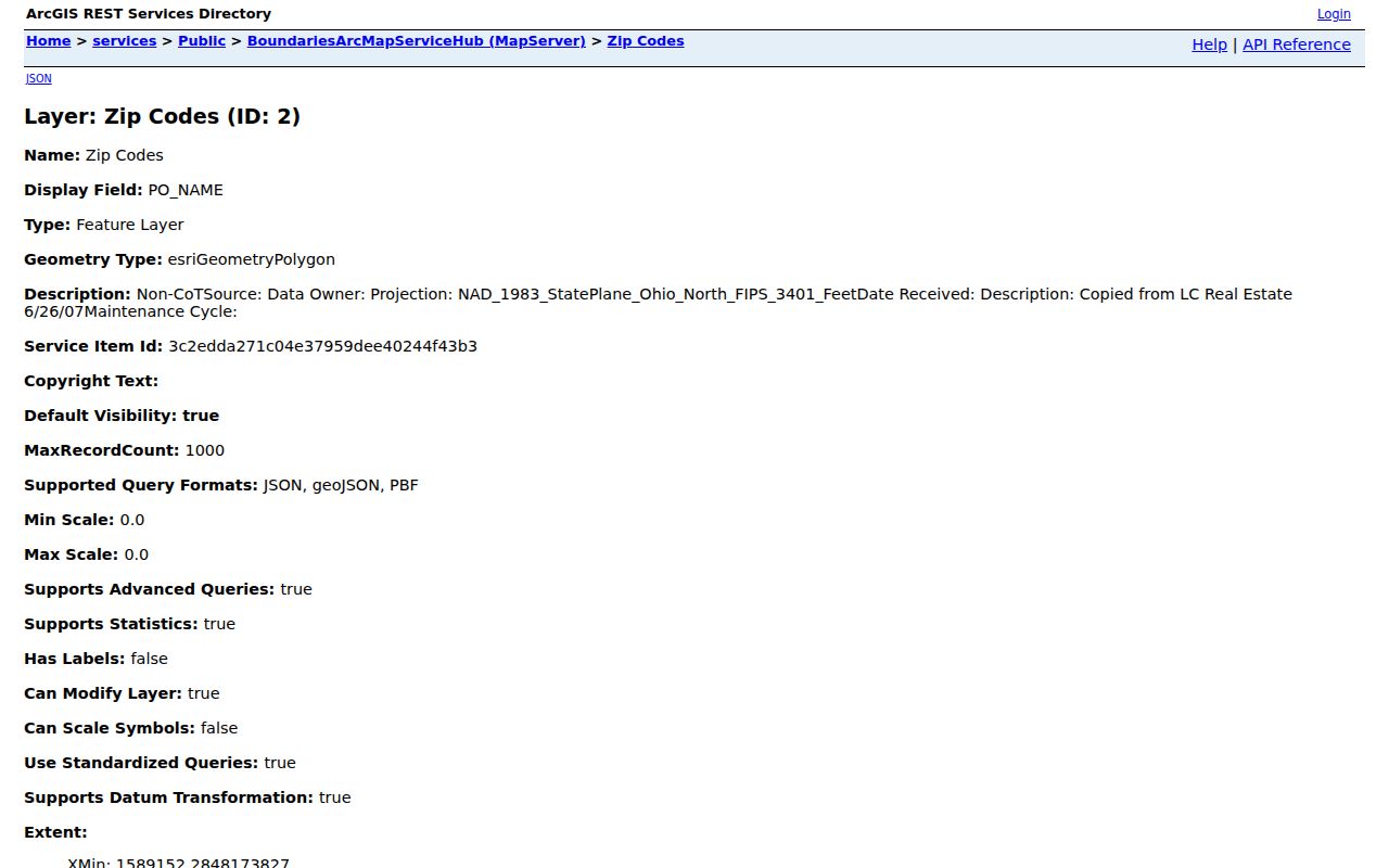
The map is useful for broad orientation. USPS answers the delivery question for a specific address, while county parcel records answer the property question.
Toledo ZIP Code Filter
AREIS is the local portal with a published ZIP Code filter. It narrows parcel records, which makes it the practical first search for a ZIP-based property question. The ZIP should remain a filter, not proof that every result is in Toledo or connected to the same street. Once a search returns candidate parcels, verify the physical address and save the parcel number before moving to another record system.
- Use the USPS ZIP Code Lookup to confirm the delivery ZIP for the complete address.
- Open Lucas County AREIS and use Advanced search to enter the ZIP. Municipality can be an additional parcel filter when appropriate.
- Open a candidate parcel and compare its situs address, parcel number, owner information, and short legal description with the question at hand.
- When the ZIP has narrowed the search to a street, use the Toledo street record chain for the address, ownership, deed, permit, and historical steps.
The Recorder and voter tools serve later, narrower questions. Neither inspected form begins with a ZIP filter.
Toledo AREIS ZIP Fields
AREIS publishes both the broad search modes and the advanced filters that make a ZIP-based parcel search possible. The address fields remain useful after a ZIP result is narrowed to one property. Its map and multi-year options can provide context, but the portal’s published tax-purpose boundary notice still applies. The table keeps the actual interface labels separate from conclusions that the underlying records may or may not support for a selected parcel.
| AREIS field or mode | Input type | Required | Published ZIP-search use |
|---|---|---|---|
| Address | Mode | No | Street number, direction, street name, suffix, and unit for a single-property check. |
| Owner | Mode | No | Owner-name search after a parcel result identifies a party. |
| Parcel Number / Assessor # | Mode and text | No | Parcel identifiers retained from a selected result. |
| Advanced: ZIP Code | Advanced filter | No | Published ZIP-capable parcel filter. |
| Advanced: Municipality, Street Name, Legal Description | Advanced filters | No | Additional ways to narrow a parcel search. |
| Advanced: sale data, tax district, year built, land and building characteristics | Advanced filters | No | Published property filters; use only for the stated parcel question. |
| County Map / Multi-Year Search | Modes | No | Map-based lookup and prior-year results. |
The Treasurer’s AREIS information page points to the county parcel resource.
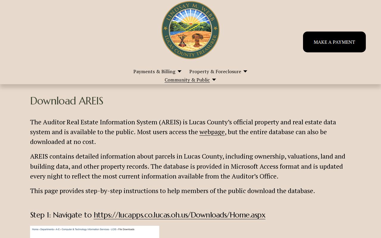
A ZIP filter can reduce the parcel set, but a selected property still needs an address-level and legal-description check before it is connected to a recorded instrument.
Toledo Recorder ZIP Gap
The Recorder Public Access index is designed around names, instruments, recorded dates, subdivisions, consideration, notes, file numbers, and legal filters. The inspected screen has no displayed ZIP field. That is an important limit: a ZIP cannot be pasted into the Recorder and turned into a deed list. Start with AREIS, identify the parcel owner and short legal description, then use the owner name and recording date to reach land records.
Recorder results can show names, roles, other party, instrument type, date, instrument ID, book or page, consideration, and short legal information. They should be matched to the parcel rather than treated as a postal directory.
Toledo Postal and City Lines
Postal geography, City limits, Lucas County tax jurisdiction, school districts, and property-tax districts do not share one boundary. A Toledo postal name on the GIS layer therefore does not prove a municipal location. Conversely, an address question near an edge should not be resolved from a general ZIP label alone. Use USPS for delivery, the City layer for broad planning geography, and the Auditor and Recorder chain for a parcel’s record evidence.
AREIS allows both Municipality and ZIP Code as advanced filters. They are useful for narrowing parcel records, but the pair is not a substitute for an address-level confirmation. That distinction is especially important when a search starts with a postal label and ends with a legal description.
Toledo Delivery ZIP Check
For actual mail delivery, use the USPS tool with the full address. A planning map can identify a nearby polygon, but USPS provides the address-level answer. This extra check keeps the lookup grounded when a ZIP is used to narrow a parcel search, prepare correspondence, or distinguish similar street names. ZIP+4, carrier route, and other postal details should not be confused with a parcel number or a municipal boundary.
The official USPS ZIP Code Lookup is the delivery-verification source.
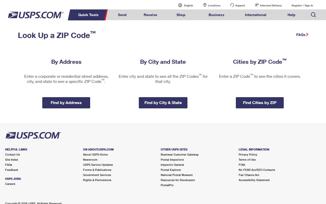
Use the returned postal information only for the delivery question. Property ownership and recorded land history require their own county records.
Toledo Address Record Terms
Postal terms and property terms often appear side by side, yet they describe different systems. Keeping the definitions straight makes it easier to decide whether an address needs a USPS check, a parcel search, or a Recorder comparison. The Recorder says many instruments do not state a street address, which is why a short legal description from AREIS becomes the bridge.
- ZIP versus ZIP+4
- A ZIP identifies a postal delivery area; ZIP+4 adds a more specific delivery segment. Neither replaces parcel evidence.
- PO-box ZIP
- A ZIP used for post-office-box service rather than proof of a physical parcel location.
- Unique ZIP
- A postal designation associated with a single organization or delivery purpose, not a general neighborhood boundary.
- Carrier route
- A USPS delivery grouping used to route mail. It is not a City-limit or parcel boundary.
- Legal description
- The recorded land description that links a parcel to a deed when a street address is missing.
Toledo Historic Names Before ZIP
For an older property question, a present-day postal label may be less helpful than the plat or addition name. City digital plat material identifies Port Lawrence, Vistula, Ironville, East Toledo, Englewood, Junction, Old South End, Old West End, Lagrange, and North River. Compare that historical place name with the legal description before assuming a modern ZIP or street-number match explains an older record.
Toledo’s recent plat preservation work adds a useful local layer. The City received a 2025 grant for roughly 660 pages of nineteenth-century maps and announced in March 2026 that more than two dozen scanned maps had been released. Those maps explain neighborhood growth and old additions, but they do not create a continuous list of people at an address.
Toledo ZIP Research Limits
A ZIP-filtered AREIS result is a parcel-oriented starting set, not a public roster of every person in an area. The Recorder lacks a ZIP-first search, and Ohio voter verification starts with a name and county rather than a ZIP. Keep each use narrow, confirm delivery with USPS, and compare parcel details with the appropriate official record before relying on a match.
Use records carefully. Postal and parcel data support a specific delivery or property question. They do not justify contact, intimidation, stalking, or harassment of anyone connected with an address.